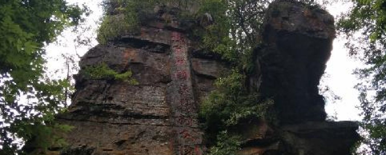
景点的名称:石柱
此处石柱属于张家界地貌的晚年期地貌景观。幼年期,流水沿石英砂岩内发育的相互交错的节理下切,形成初始方山及条状山脊;壮年期,区域性掀斜抬升导致,侵蚀基准面下降,河流垂直下切与溯源侵蚀交替进行,水网密度加大,使初始方山、岩柱进一步增高,并且因垂直节理产生切割岩体造成崩塌,形成岩柱等景观;晚年期,地壳处于稳定状态,随着河流的侧蚀作用及搬运堆积作用,岩峰、岩柱高度逐渐被削低、体积变小,形成了类似此处的砂岩石柱景观。
This stone pillar is a landscape belonging to the old stage of Zhangjiajie Landform. Long, long time ago, flowing water cut down along several crossing joints developed in the quartz sandstone, forming the mesas and peak-shaped ridges. Then, the earth’s crust uplifted, the base level of water-cutting dropped, the river cutting process and headward erosion process worked alternately, and the density of the river network increased, making the mesas grow taller. As rock pieces collapsed along the vertical joints, the stone pillars were formed. Later, because of fluvial erosion and transportation processes, the peaks and stone pillars became shorter and smaller, forming the sandstone pillar landscape.